


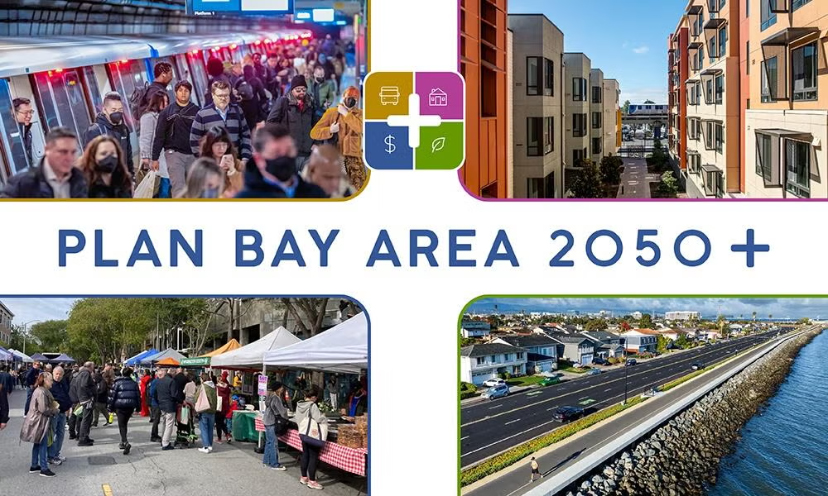
MTC, ABAG release proposed final Plan Bay Area 2050+
Proposed Plan for housing, transportation, the economy and environment in the nine counties will go to committee for review on Friday, March 13
Offers strategies, investments and outcomes for Contra Costa County
By John Goodwin, Assistant Director of Communications & Leslie Lara-Enríquez Assistant Director, Public Engagement, Metropolitan Transportation Commission
After nearly three years of public discussion, technical analysis and refinement, the Metropolitan Transportation Commission and the Association of Bay Area Governments last Friday released the proposed final Plan Bay Area 2050+ and the Final Environmental Impact Report (EIR) for Plan Bay Area 2050+.
Plan Bay Area 2050+ is the latest long-range plan to guide growth and investment across the region’s nine counties and 101 cities. The plan seeks to advance an integrated vision for a Bay Area that is affordable, connected, diverse, healthy and vibrant for all by 2050. It focuses on the four areas of housing, transportation, the economy and environment.

The plan and its related reports will be presented for review and consideration at a joint meeting of the MTC Planning Committee with the ABAG Administrative Committee on Friday, March 13, before the documents are referred to their respective approving bodies. The ABAG Executive Board will consider certification of the Final EIR and adoption of the final plan at its March 19 meeting. At its March 25 meeting, MTC will consider certifying the Final EIR and adopting the final plan, as well as adopting the accompanying Air Quality Conformity Analysis and an amendment to the 2025 Transportation Improvement Program.
The release of the proposed final Plan Bay Area 2050+ follows a 59-day public comment period for the Draft Plan and the Draft EIR that closed on December 18, 2025. The proposed final plan and Final EIR have been updated to reflect feedback received during the public comment period.

The Plan includes Partner Resources: Regional Tools for Local Action that local jurisdictions and partner agencies can use to develop plans, seek funding and take action to make a better Bay Area. It offers a fact sheet for each county, including Contra Costa, which spotlights strategies, investments and outcomes.
Plan Bay Area 2050+ is the latest long-range regional plan for the nine-county Bay Area. The plan lays out a series of funding and policy strategies that can create a more affordable, connected, diverse, healthy and vibrant future for all Bay Area residents in 2050. Unique to this plan cycle is the parallel Transit 2050+ planning effort, which culminated in the first-of-its-kind plan to re-envision the future of Bay Area public transit, in partnership with transit agencies across the region.
Allen D. Payton contributed to this report.
the attachments to this post:
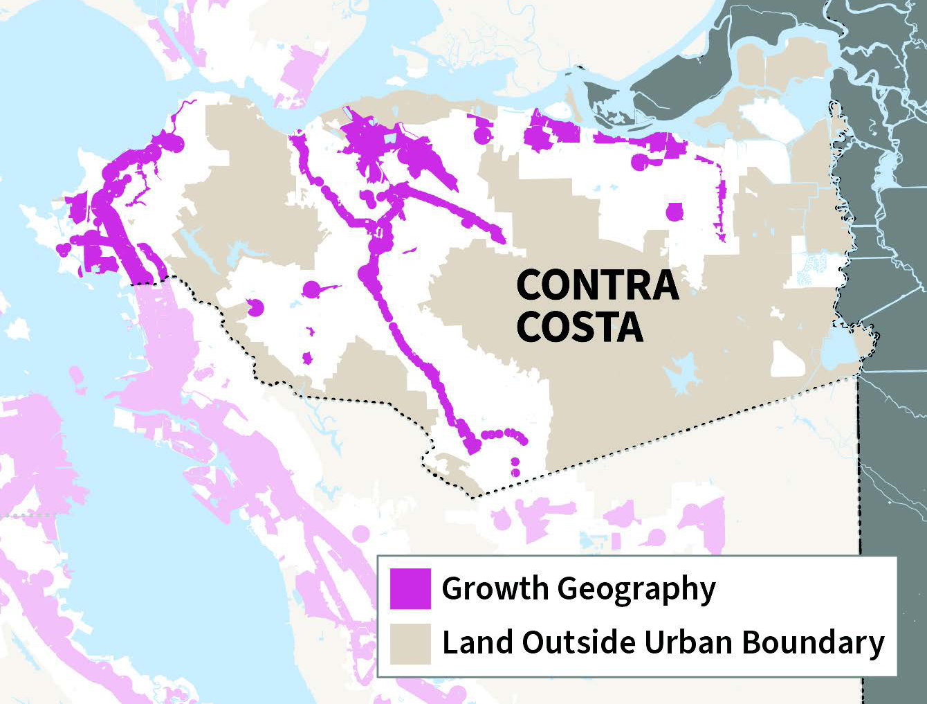
Contra Costa County Growth Geographies map
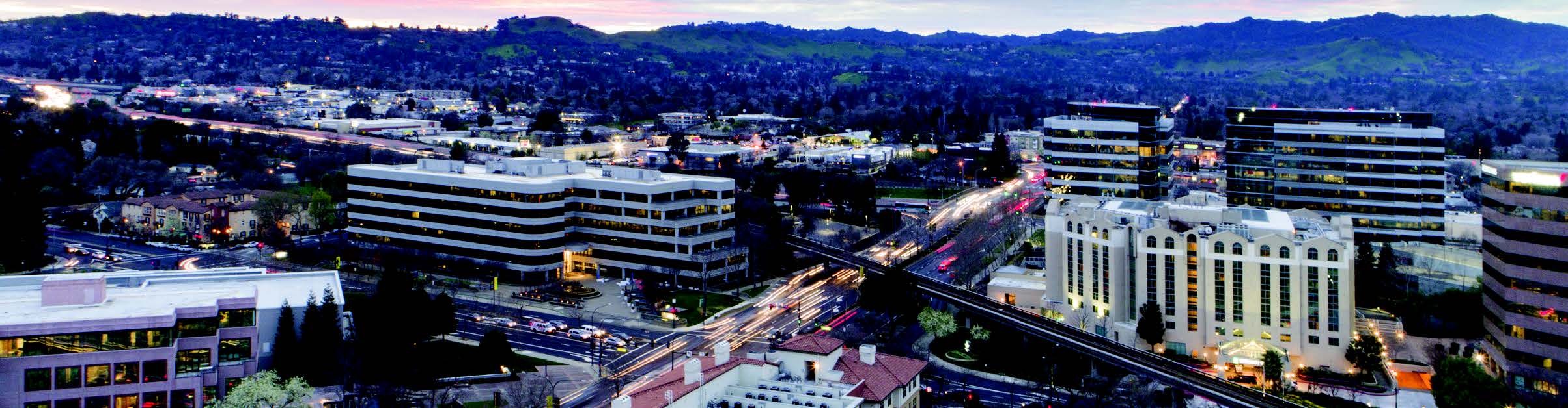
Contra Costa Centre photo Karl Nielsen