 The East Bay Leadership Council is proud to endorse Measure J in Contra Costa County and wanted to share a few reasons why we believe it deserves a YES vote on March 3.
All the Money Raised Here Stays Here
That may sound simple, but recent transportation funding initiatives have pooled revenue among all nine Bay Area counties and then divvied it up based on a number of factors. In these situations, the East Bay has not always received an equitable share.
Measure J is a chance to raise $103 million per year for Contra Costa County that is guaranteed to go back into our community to ease bottlenecks, improve transit access, and make roads safer for cyclists and pedestrians.
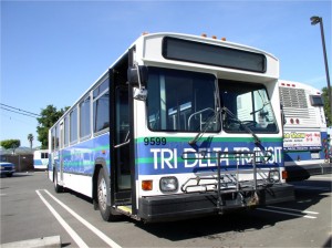
Funding for Bus, Bike, and Pedestrian Improvements
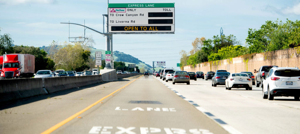
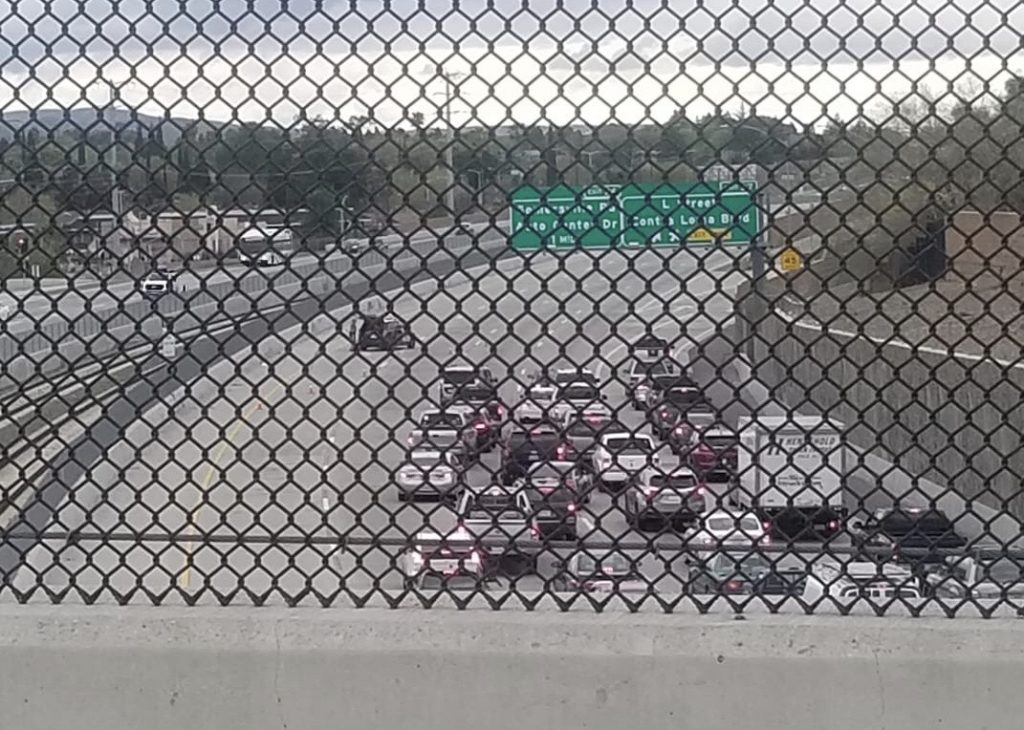
If Contra Costa County is ever going to get off the “worst commutes in the nation” lists, then we must make it easier and more efficient for commuters to opt for alternative transportation options like express buses, protected bike lanes, and pedestrian over-crossings.
These investments will ease congestion on our roads and improve air quality. It is one of the reasons why the East Bay Regional Park District, Save the Bay, Bike East Bay, TransForm, and Save Mount Diablo all joined us in support of Measure J.
Did we mention free and reduced fares for students, seniors, and people with disabilities? That too!
Innovate 680
If you were a fly on our office wall, you would hear a lot about innovation opportunities on Interstate 680.
Measure J will prioritize this critical commute corridor by helping to get express buses running on the shoulder of the freeway that could connect BART stations to job centers in the Tri-Valley. Other 680 innovations include smart freeway signs and metering lights, express lane extensions, and self-driving shuttles.
There is so much we can do to make commutes on 680 more efficient and Measure J will help us get there.
The Economy
We cannot expect businesses to attract and retain employees while Contra Costa County makes headlines for long and inefficient commutes.
Investing in the transportation system is an investment in helping businesses start, stay, and grow in the region. That means more jobs close to home for Contra Costa residents.
Matching Funds Get Projects Done
Money raised at the local level will not be enough to pay for every transportation improvement that Contra Costa County needs. The good news is that there are state and federal funds available to help complete important projects.
The secret to winning that funding is that the state and federal government both prefer to contribute the last dollars for a project, not the first.
By raising funds locally first, Contra Costa County will be able to win more grant funding and make more efficient use of every dollar for decades to come.
To learn more about Measure J and its benefits visit www.friendsofcontracostatransportation.org. To learn more about the East Bay Leadership Council visit www.eastbayleadershipcouncil.com.


 Starting March 2nd through March 31, 2020,
 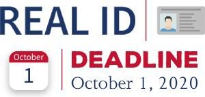 Sacramento – Earlier today, Assemblymembers Jim Frazier (D-Fairfield) and Vince Fong (R-Bakersfield), Chair and Vice-Chair of the Assembly Transportation Committee, introduced AJR 28, a resolution asking the Department of Homeland Security (DHS) to delay